Galunggung volcano, Tasikmalaya – West-Java

Galunggung-volcano-map

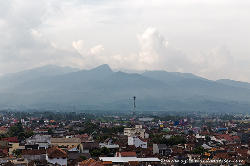
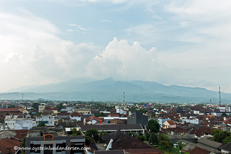
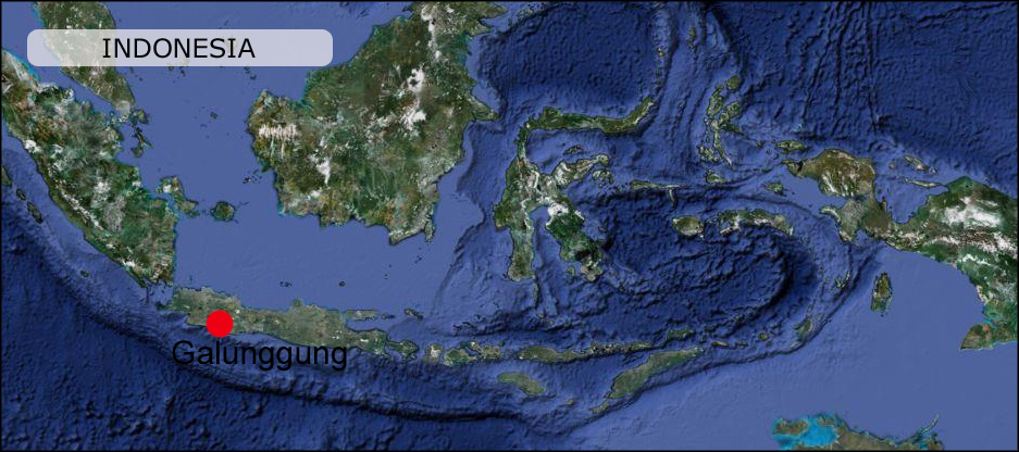
Galunggung is a stratovolcano located in West-Java near the city of Tasikmalaya. It last erupted in 1984. An earlier eruption in 1982 was considered a VEI-4 eruption.

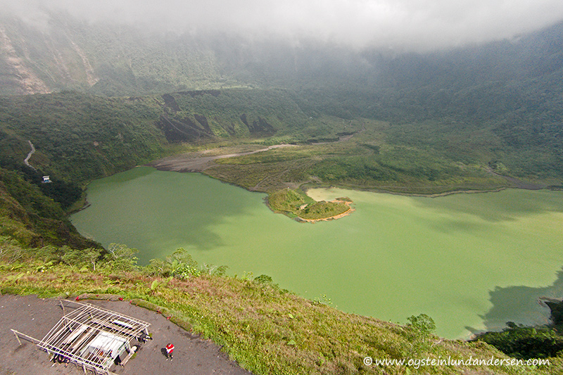
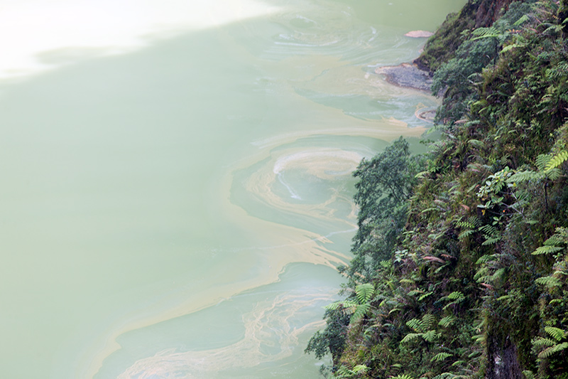
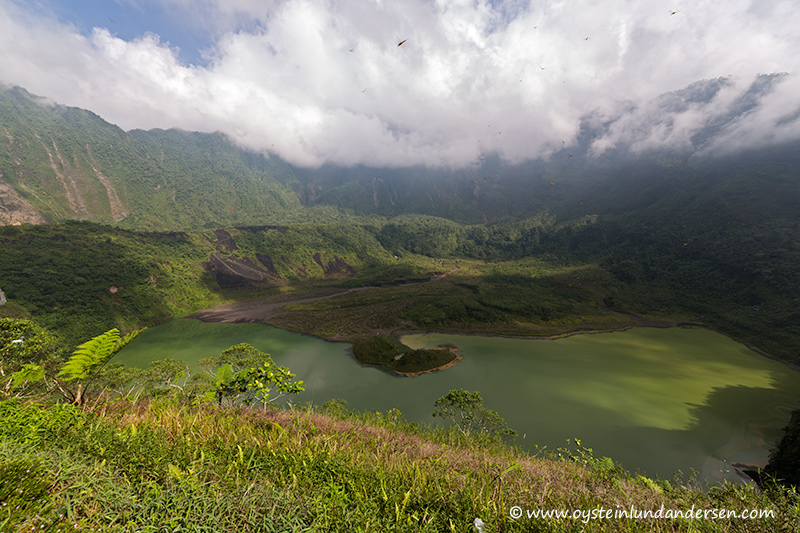
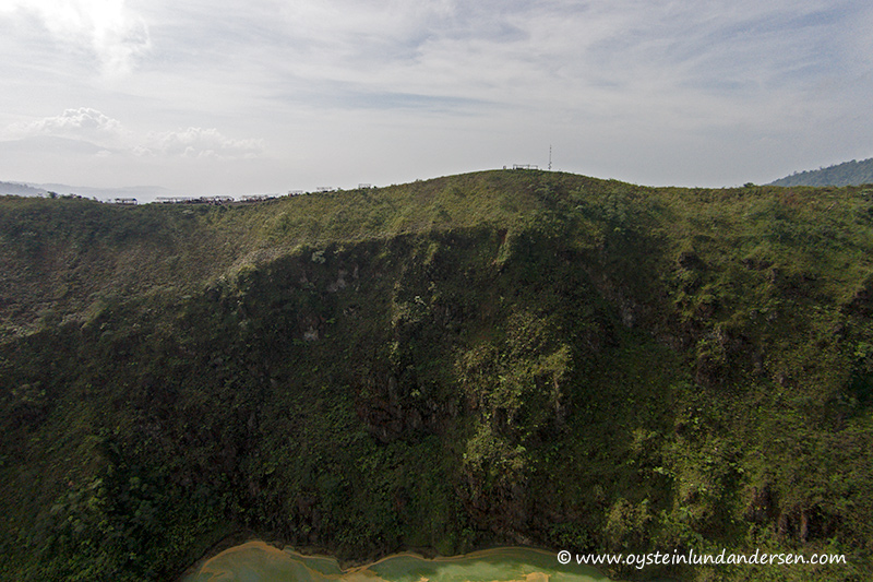
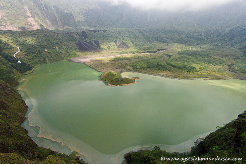
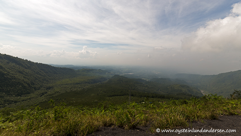
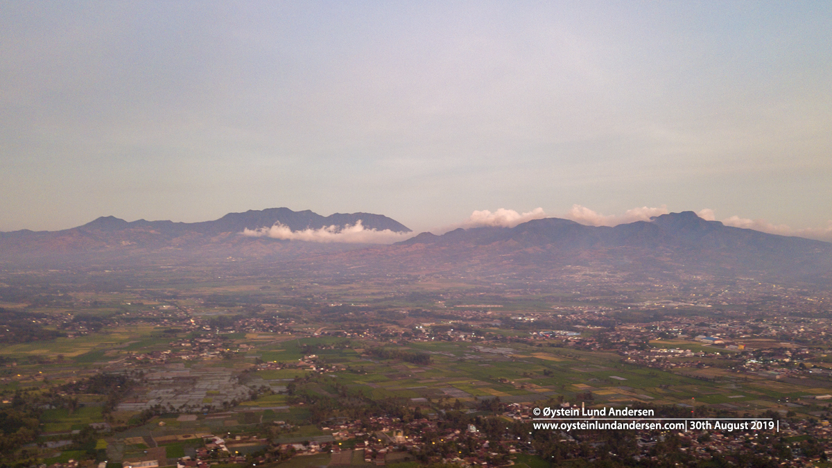
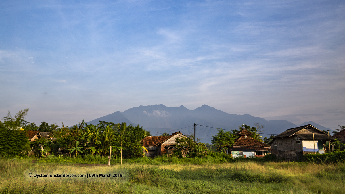
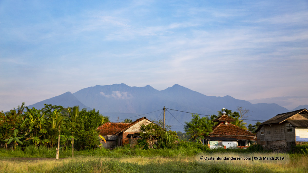
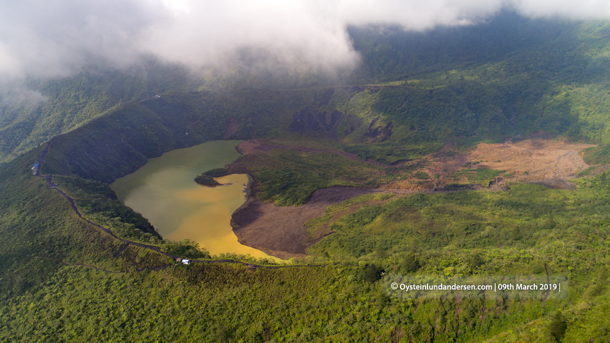
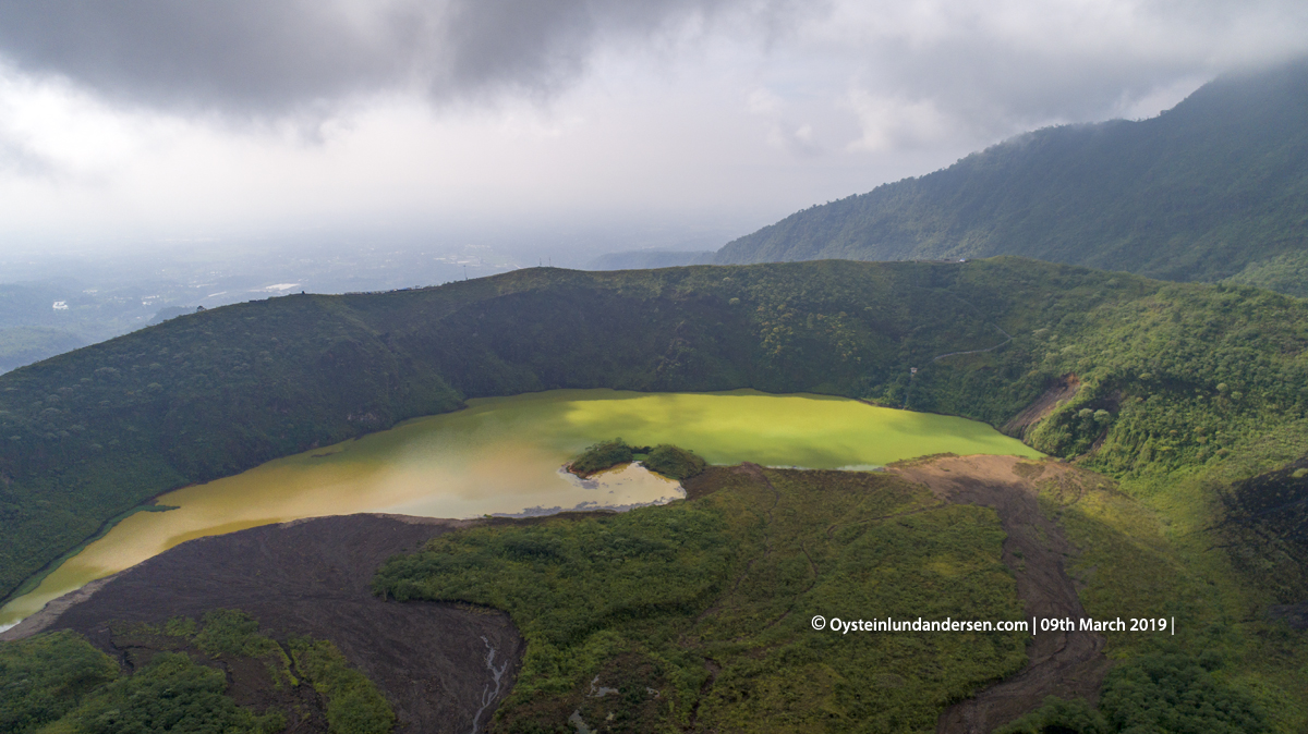
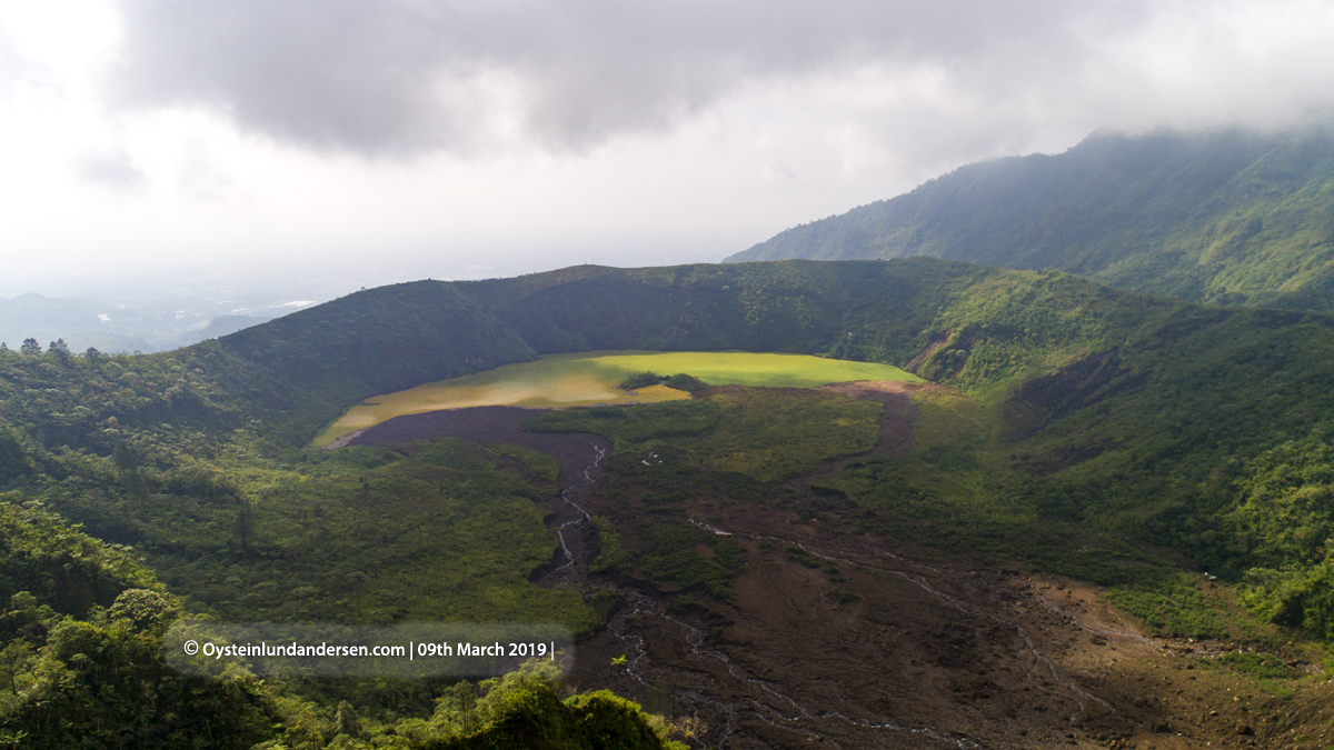
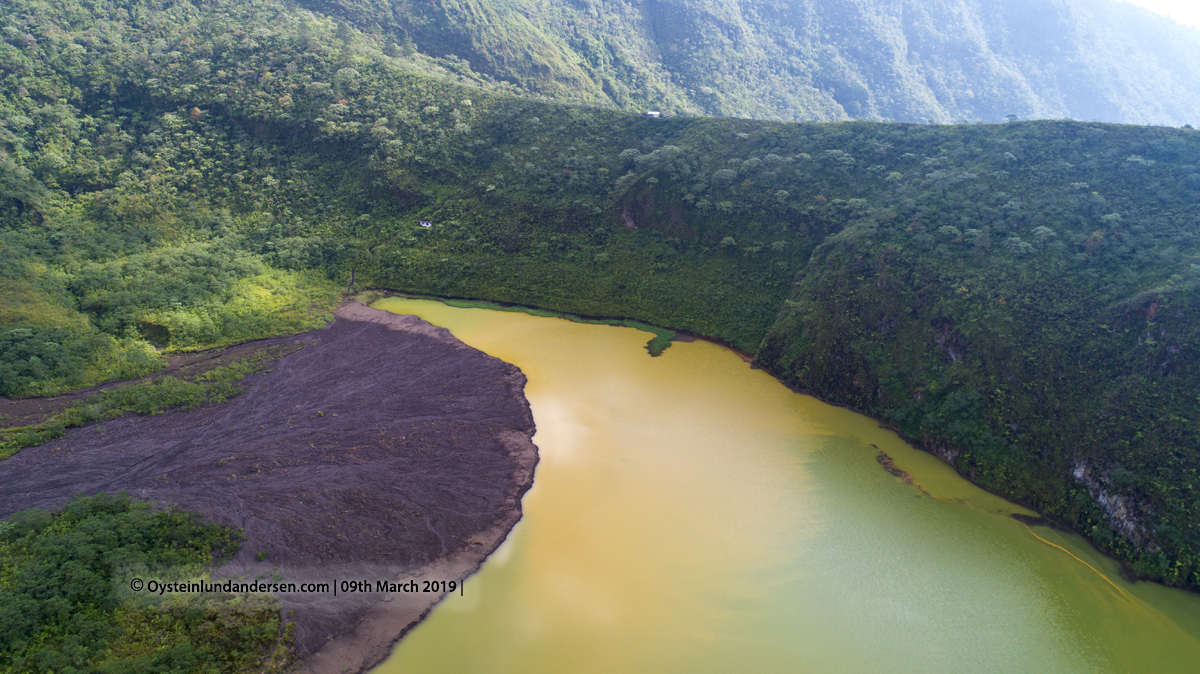
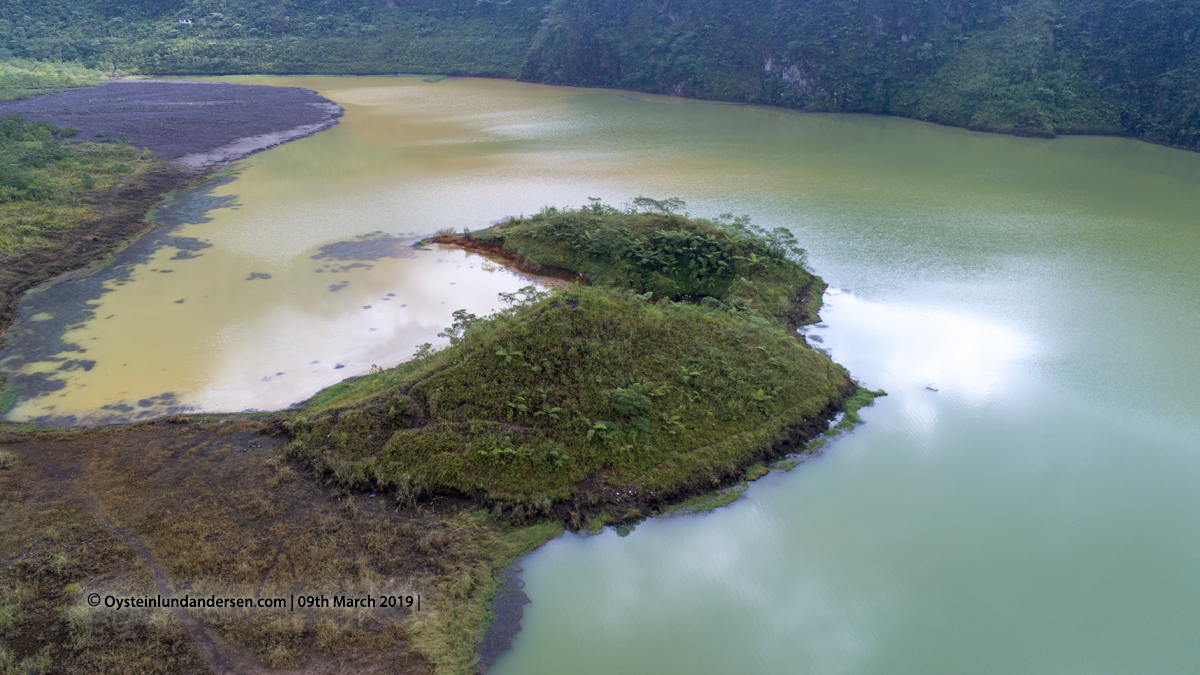
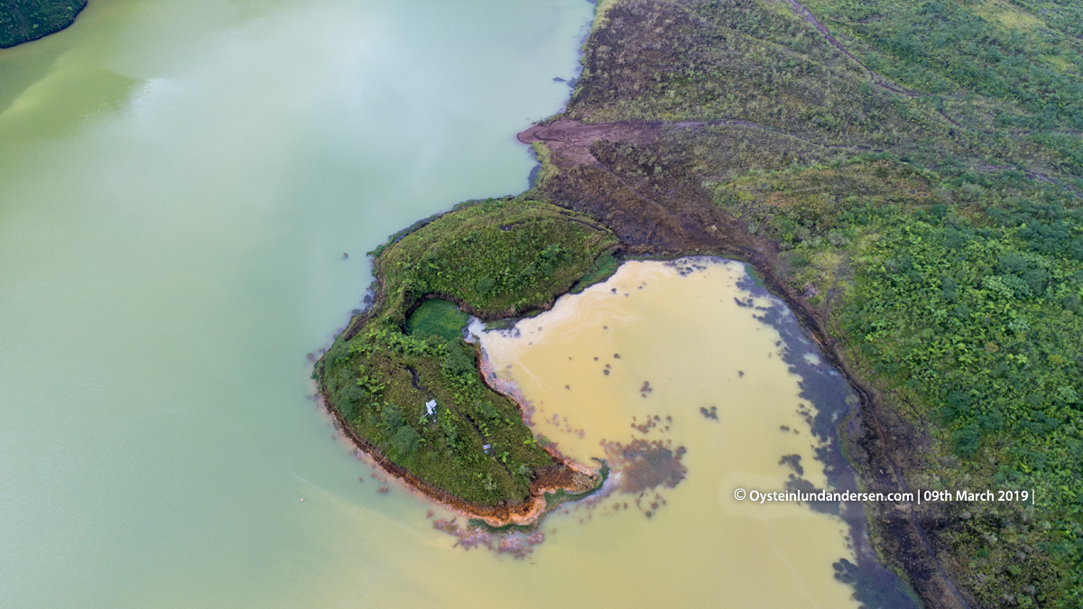
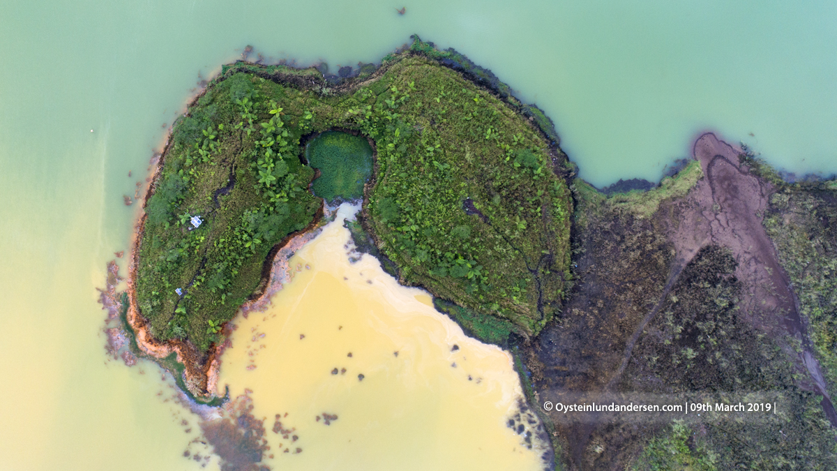
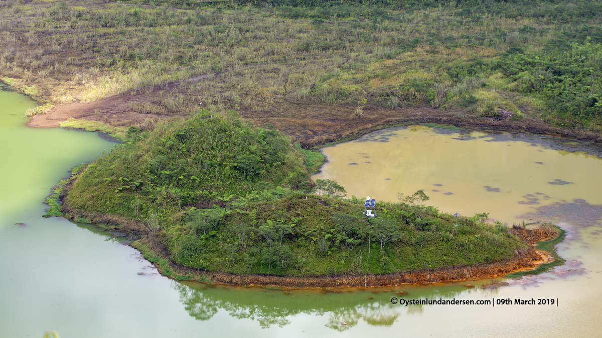
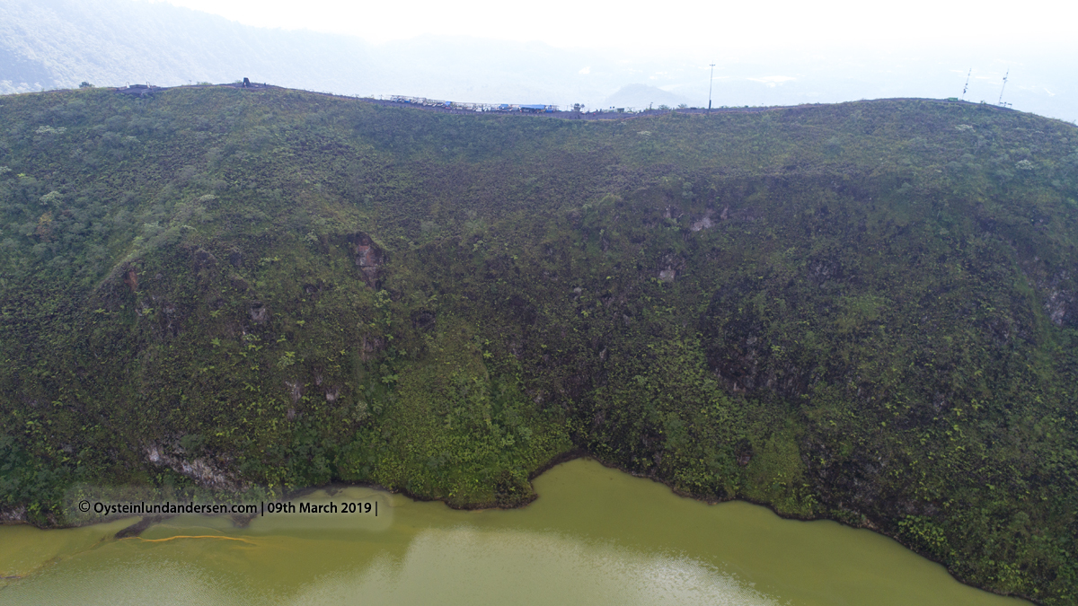
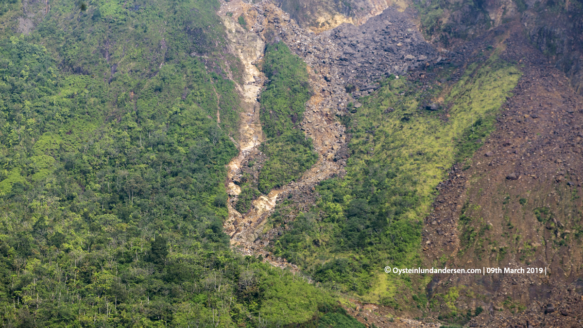
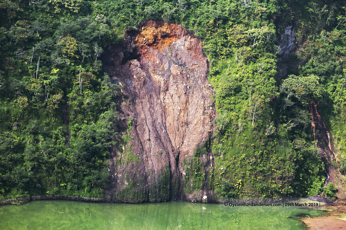
The forested slopes of 2168-m-high Galunggung volcano in western Java are cut by a large horseshoe-shaped caldera breached to the SE that has served to channel the products of recent eruptions in that direction. The “Ten Thousand Hills of Tasikmalaya” dotting the plain below the volcano are debris-avalanche hummocks from the collapse that formed the breached caldera about 4200 years ago. Although historical eruptions, restricted to the central vent near the caldera headwall, have been infrequent, they have caused much devastation. The first historical eruption in 1822 produced pyroclastic flows and lahars that killed over 4000 persons.

Read more in depth information about Sinabung volcano at :The Smithsonian’s Global Volcanism Program

August 2019

Galunggung Volcano seen here in the back left, from the NW, from the Garut region. The mountain to the right is Karacak.

March 2019

Galunggung Volcano Aerial Crater Cone 2019
1. Galunggung seen from approx. 9km from the South in the morning of the 9th March 2019.
Galunggung Volcano Aerial Crater Cone 2019
2.
Galunggung Volcano Aerial Crater Cone 2019
3.
Galunggung Volcano Aerial Crater Cone 2019
4. Aerial view of the main crater of Galunggung seen from SW.
Galunggung Volcano Aerial Crater Cone 2019
5. Crater seen from North.
Galunggung Volcano Aerial Crater Cone 2019
6.
Galunggung Volcano Aerial Crater Cone 2019
7. Part of the crater lake.
Galunggung Volcano Aerial Crater Cone 2019
8. The partially eroded tip of the 1983 cone. The scoria cone was produced during the final stage of the 1982-83 eruption.
Galunggung Volcano Aerial Crater Cone 2019
9. The cone seen from above. Note the discolored water, indicates ongoing hydrothermal activity.
Galunggung Volcano Aerial Crater Cone 2019
10.
Galunggung Volcano Aerial Crater Cone 2019
11. This looks like the center-vent of the cone, now overgrown by vegetation.
Galunggung Volcano Aerial Crater Cone 2019
12. Note monitoring equipment.
Galunggung Volcano Aerial Crater Cone 2019
13. Looking into the crater from the edge of it.
Galunggung Volcano Aerial Crater Cone 2019
14. Crater wall seen from the North.
Galunggung Volcano Aerial Crater Cone 2019
15. Avalanche scar.
Galunggung Volcano Aerial Crater Cone 2019
16. Avalanche scar.

2th May 2014

Photos: 12 available in format/size: RAW/JPG – 5472 x 3648 pixels. 75+ photos not presented on the webpage.

Summary of visit: Visited a brief morning on the 2th of May. The weather was fairly good so was also able to get some aerial photos from my quadrocopter.

Galunggung-volcano-2014-(IMG-5223) Galunggung-volcano-2014-(IMG-5217)

Sulfur colored water

Galunggung-volcano-2014-(IMG-5190) Galunggung-volcano-2014-(DJI00024) Galunggung-volcano-2014-(DJI00022) Galunggung-tasikmalaya-ricefields-2014-(DJI00047) Galunggung-volcano-2014-(DJI00012)

View to the south from Galunggung
Galunggung seen from the city of Tasikmalaya

Galunggung-volcano-tasikmalaya-2014-(IMG_5329)