2012 June

30th June 2012

Type of activity:Lava dome growth.

Photos: 6

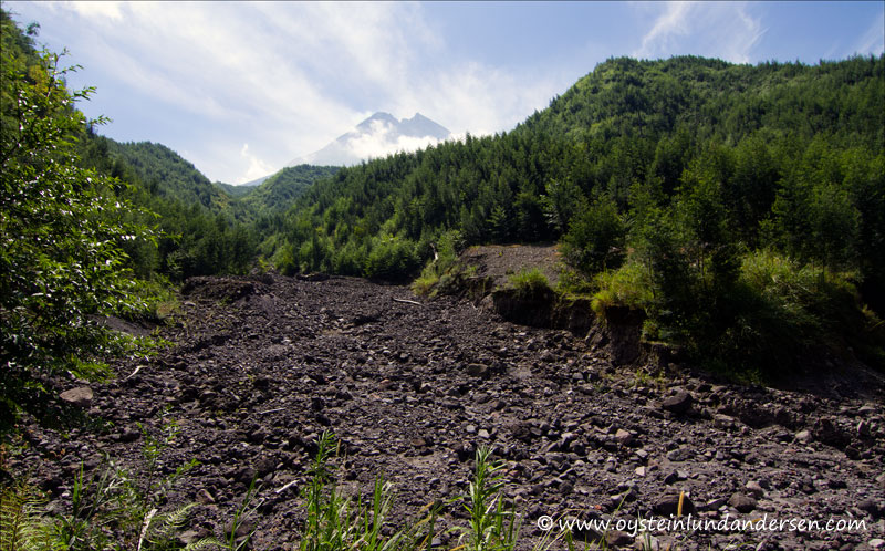
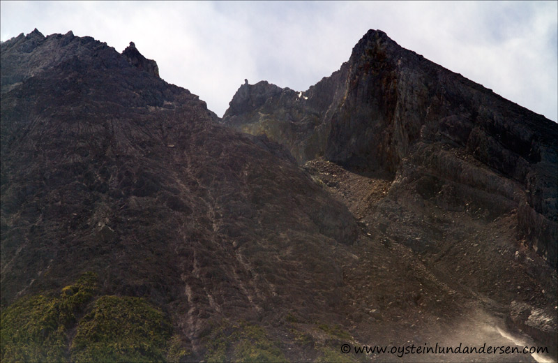
Revisited Merapi again on the 30th June in the purpose of getting a view from the south and to continue locating safe GPS locations for photography ahead of a potential eruption in the future (the locations where these photos were taken is tough a hazard area for pyroclastic flows and lahars). During the last visit in May I got a very good view from the west of the Volcano, but at that time it was cloudy when I got to the south. This time the weather was mostly good, however I arrived in the area a bit too late as haze had already start to build up

View of Merapi from Kali urang river. The river does not contain much water in the dry season.
ver closer to the volcano. Lots of debris from the 2010 eruption on the dry riverbed.
Merapi from the south and the northern face of the crater, where the pyroclastic flows have travelled during the last eruptions.

Merapi-volcano-June2012-x2-1

he new lava dome can be spotted inside the crater. During the visit it showed steaming during short periods of time, as can be noticed in the photo below.
The close up on the northern face of the top shows why the pyroclastic flows and debrice from the volcano, tend to travel downhill from this side.