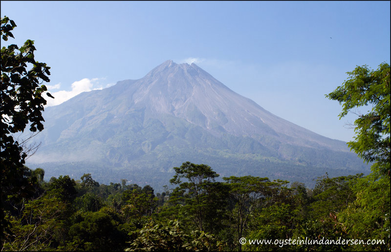
Went to central java on the 26th-27th of May to locate good and safe locations (GPS) for photographing Mount Merapi, for future reference. Unfortunately I only had clear weather on one of these days, so most of these photos are taken from the north-west/western side of the volcano. Because of this I will need to return, in the near future, to cover the exposed southern slopes.
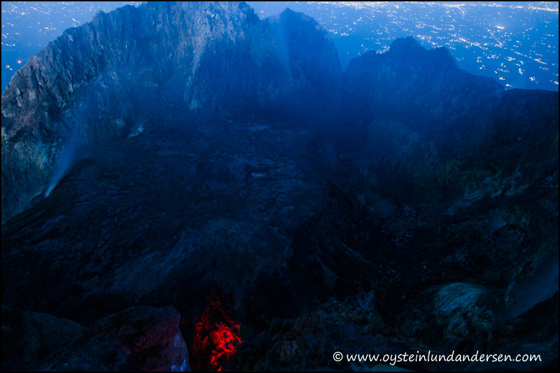
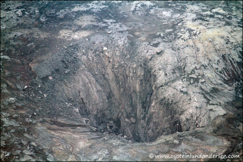
I also decided to climb to the peak on one of the days. During the visit to the crater I could clearly see the lava dome that is slowly building up, and a very small glowing part of lava. It doesn`t seem that the dome is very active yet, but it is clearly visible, this is consistent with the latest data from the Merapi volcano observatory reports on seismic levels at the time.
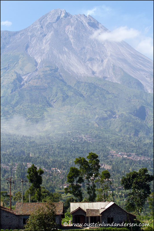
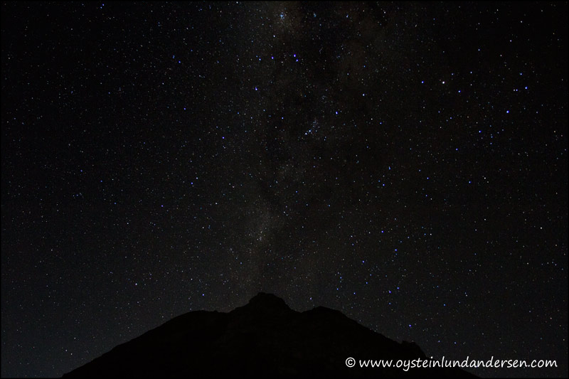
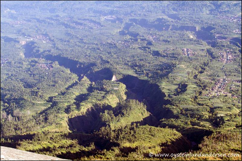
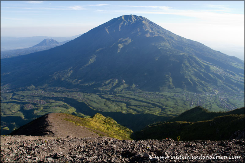
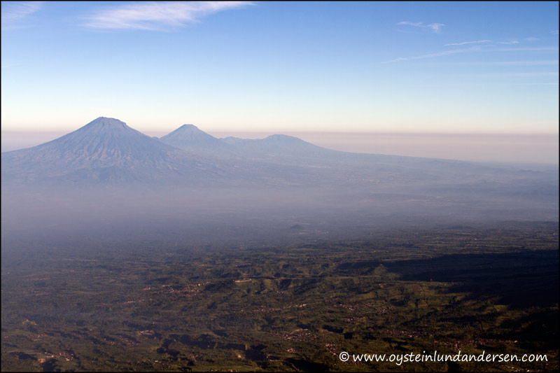
1. Houses only 7km from Merapi, are always in the danger zone for Pyroclastic flows. More settlements can be seen on the foot of the mountain.2.34.5.6.7. A very clear night, on the way up to the crater.8. Campers on the last level before the crater.9. Sunrise from the peak.10. The new lava dome and red glow on the dome wall from a isolated part of active lava, that is located on the western side of the crater/dome.11. I had to hold my camera over the edge to be able to capture the active lava.12. Eruption crater located on the middle of the dome.14. The western part of the crater, showing clearly the boundary of the elevated dome. The dome looks like it`s around 30m. height at the moment.15. Close up on the western side of the dome.16. Close up on the southern part of the edge of the dome.17. Merapi`s shadow.18. From what I could see, this is the new peak of Merapi, altough I`m not 100% sure.19. The western side of the peak of Merapi.20. The western side of Merapi.21.Terrain below Merapi.22. Terrain below Merapi.23. South-western slope of Merapi.24. Merbabu volcano seen from Merapi.25. From the left: Sumbing, Sindoro and the dieng plateau in the far back.