Type of volcano: Complex stratovolcano
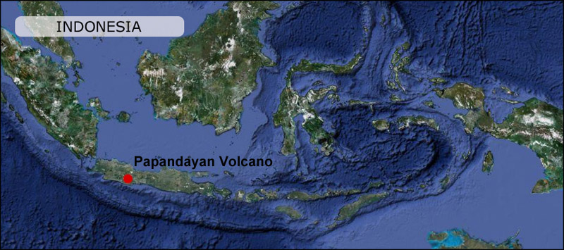
Location: West Java, Indonesia.
Altitude: Summit Elevation: 2665m.
Mount Papandayan is located in Garut Regency, to the southeast of the city of Bandung in West Java, Indonesia. It is about 15 km to the southwest of the town of Garut. At the summit, there are four large craters which contain active fumarole fields: Kawah Mas, Kawah Baru, Kawah Nangklak, and Kawah Balagadama. The volcanos largest eruption recorded was in 1772 that killed up to 3000 people. Since then only relatively small phreatic eruptions have occurred. The latest eruption by date was in November 2002: rated a VEI2 on the Volcanic Explosivity Index. On the 15th November that year an eruption generated an ash cloud 2002 that rose 5km above the summit. The volcano experienced a seismically active period in the second half of 2011 but was recently downgraded from alert level 3 out of 4 to 2 out of 4 by the Indonesian Volcanological Survey (PVMBG) on 31th January 2012.
Read more in depth Information about Papandayan at The Smithsonian’s Global Volcanism Program
To view my photos from Papandayan, visit the different pages under the Papandayan Section in the Menu.