Tengger-Sandsea-Ngadisari Caldera

Caldera Tengger map Junghuhn
The sketch is a 19th century map of Sandsea Caldera showing several volcanoes within the caldera (Junghuhn, 1844).

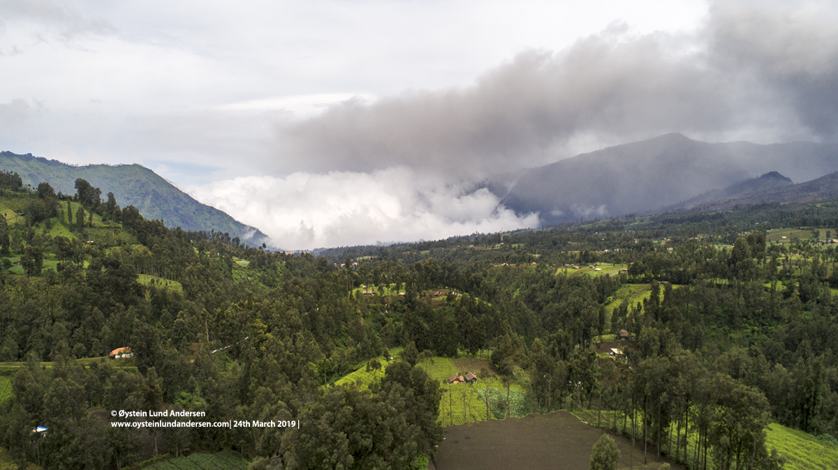
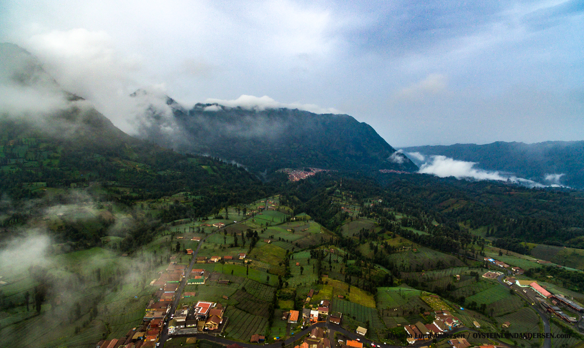
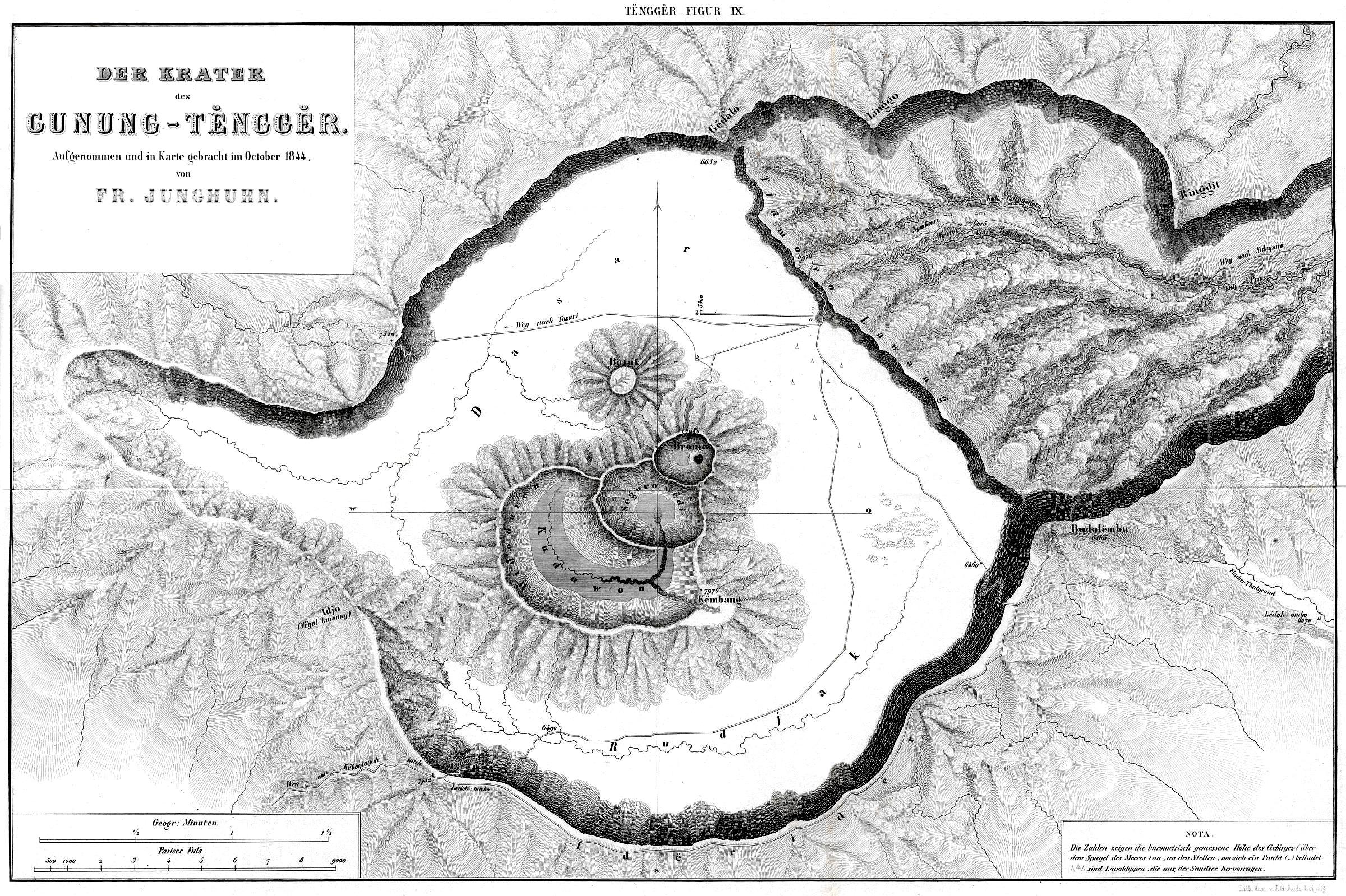
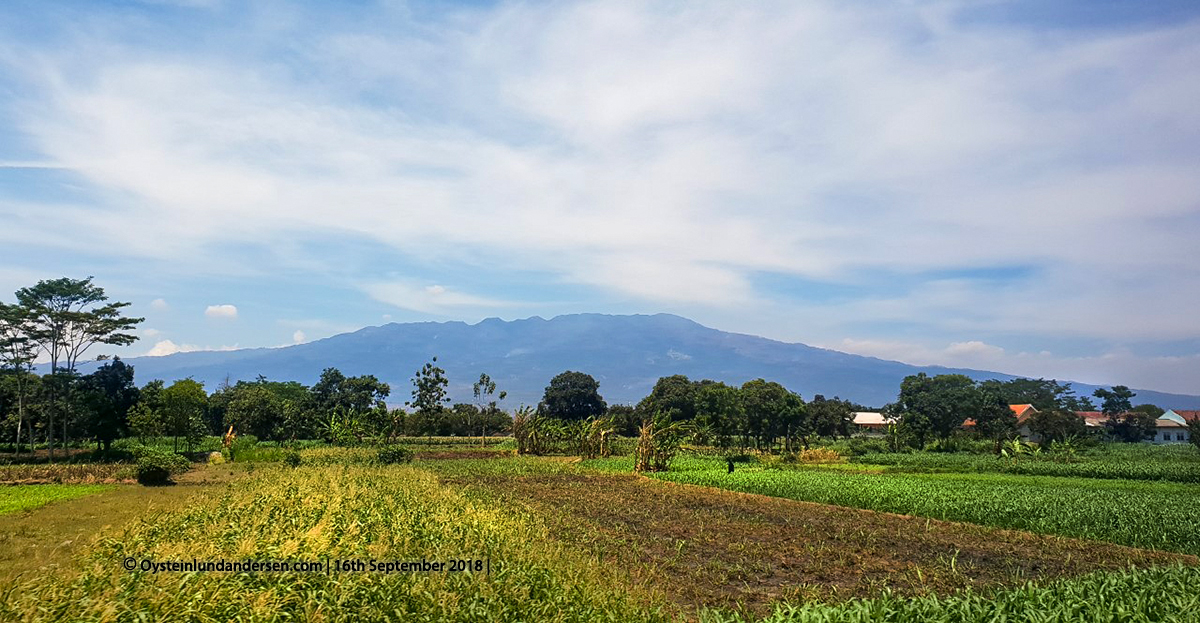
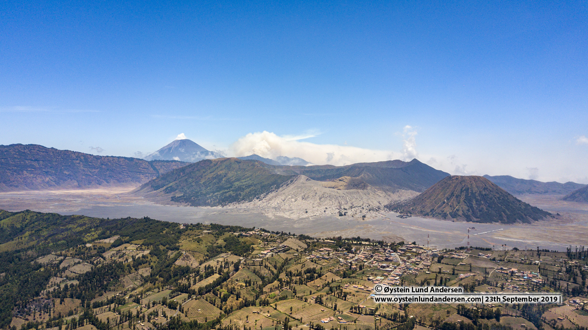
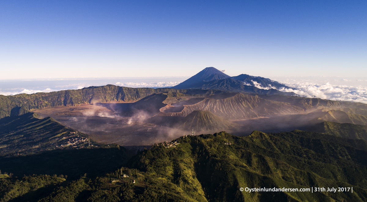
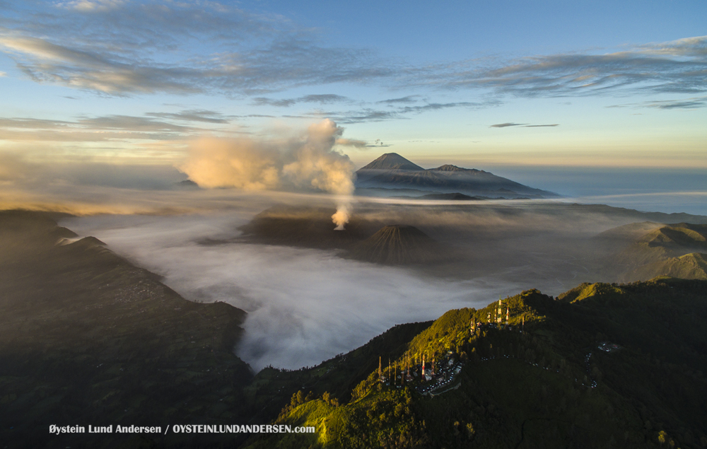
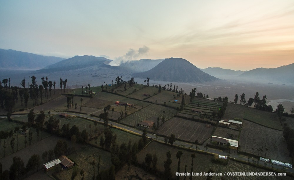
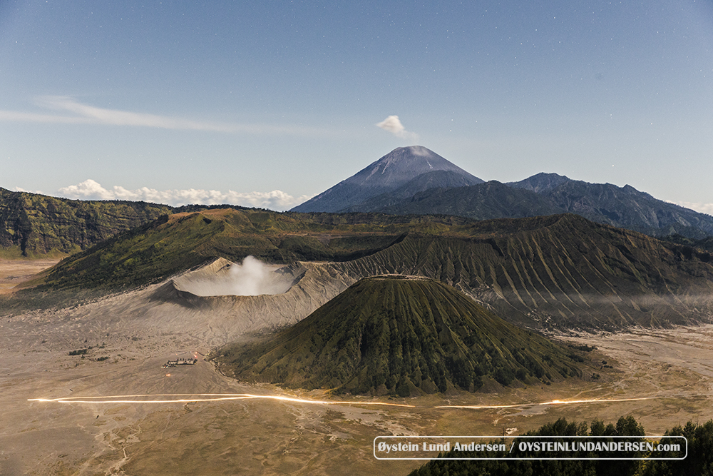
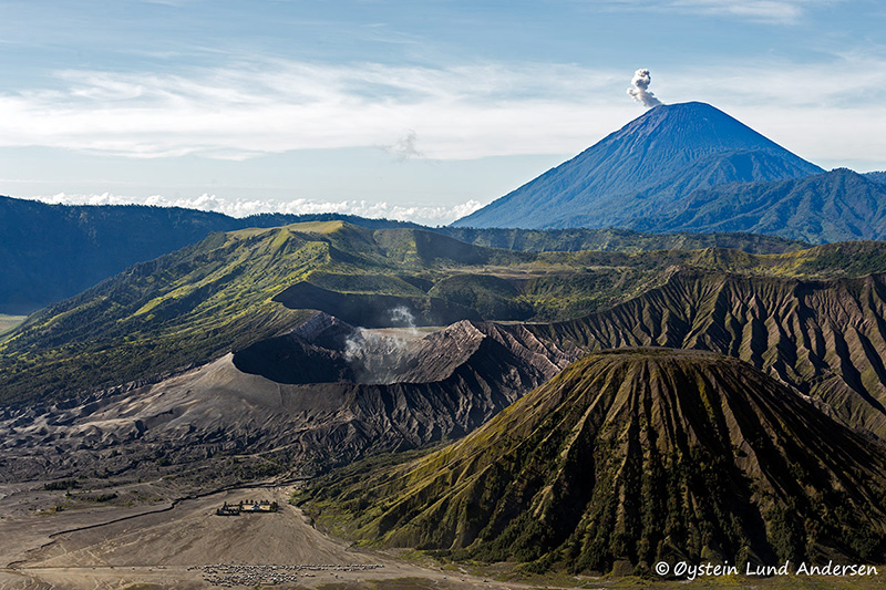
The 16-km-wide Tengger caldera is located at the northern end of a volcanic massif extending from Semeru volcano. The massive volcanic complex dates back to about 820,000 years ago and consists of five overlapping stratovolcanoes, each truncated by a caldera. Lava domes, pyroclastic cones, and a maar occupy the flanks of the massif. The Ngadisari caldera at the NE end of the complex formed about 150,000 years ago and is now drained through the Sapikerep valley. The most recent of the calderas is the 9 x 10 km wide Sandsea caldera at the SW end of the complex, which formed incrementally during the late Pleistocene and early Holocene.

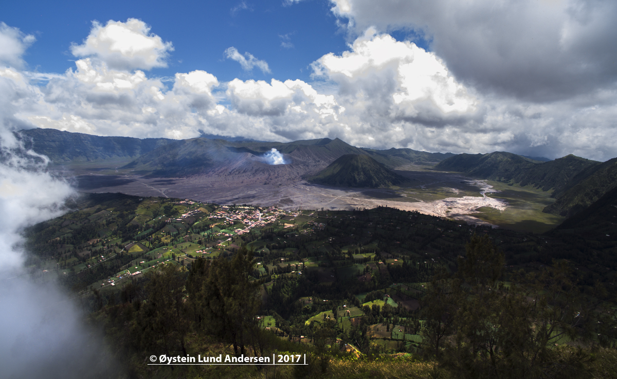
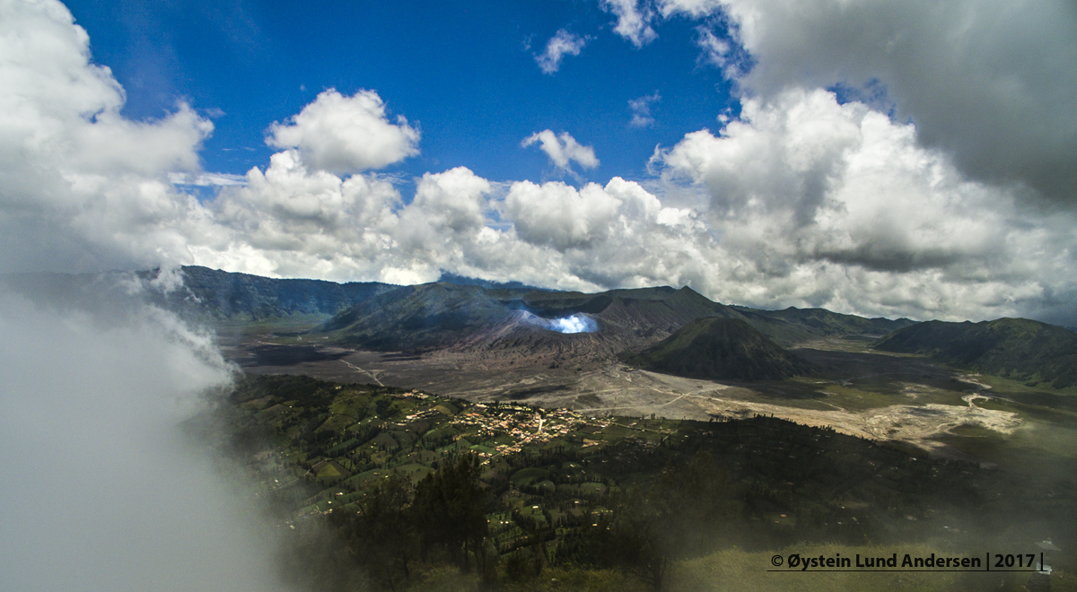
The Tengger Caldera is also known as the Sandsea Caldera. It is likely named Seasand (Sea of Sand) Caldera, because the caldera holds vast areas of sand. The caldera contains an overlapping cluster of post-caldera cones was constructed on the floor of the caldera within the past several thousand years. .

Read more about the Tengger/Sandsea caldera and its cones at the Global Volcanism Program


The cones of the Tengger/Sandsea caldera:

Click blue links to open pages

Batok

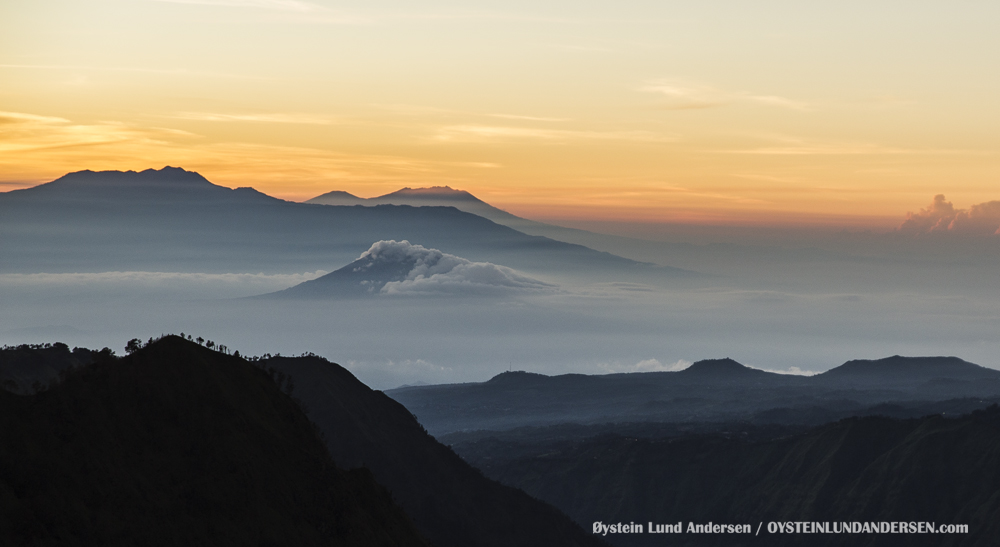
Bromo (Many pages, choose page in overview)

Widodaren

Kursi

Note: Only Bromo is currently active and is one of Java’s most active and most frequently visited volcanoes.

____________________

Photos and Videos published are available for purchase. If you want to purchase photos or videos, please see this page

____________________


Tengger/Sandsea Caldera
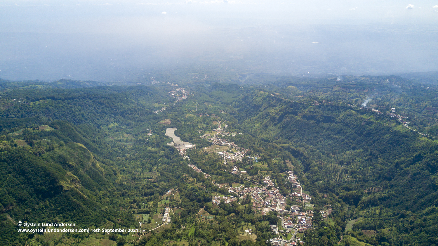
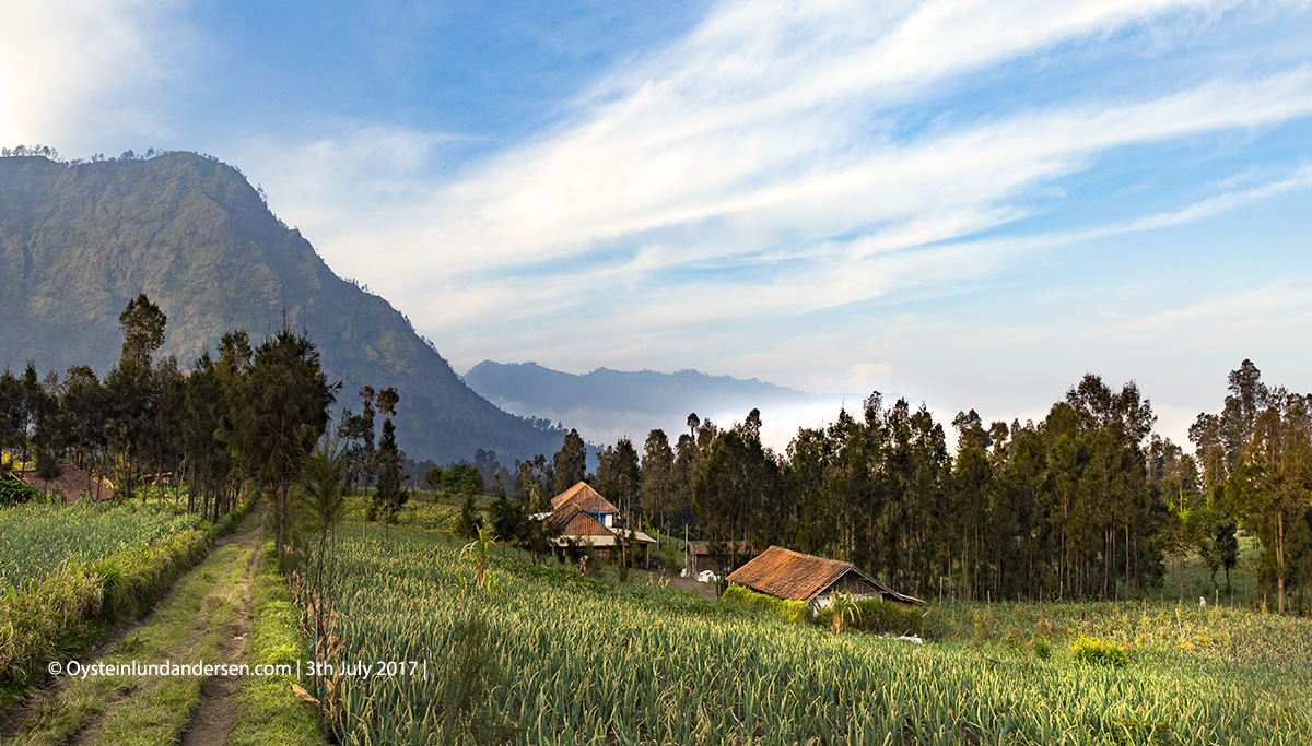
Tengger Caldera Ngadisari Caldera Sandsea Caldera
The Tengger Massif that contain the Tengger Caldera/Sandsea Caldera and Ngadisari Caldera seen from the North. (2019)
The Tengger Caldera, with Semeru volcano in the background emitting av white plume.
Eastern wall of the Tengger caldera, with Semeru volcano towering in the background.
Tengger caldera with Kawi-Butak volcano far in the background.
Bromo as seen from above the Ngadisari caldera
Eastern wall of the Ngadisari caldera
Looking North in the Ngadisari Caldera, distinct walls on both sides.
Looking down the Ngadisari caldera, seen from the West.
Ngadisari caldera, with the village which goes with the same name, Ngadisari, in the foreground.
Bromo Indonesia Volcano July August 2017 DJI Aerial Sandsea Caldera
Aerial view of the Sandsea/Tengger Caldera, East-Java – with Semeru volcano roaming in the background.
Dji Aerial Bromo Volcano Indonesia Java Tengger 2017
(18th February)
Dji Aerial Bromo Volcano Indonesia Java Tengger 2017
(18th February)
Star trails Tengger Bromo Volcano Astro
Series of photos worth 30min combined together, making star-trails above the Seasand/Tengger-Caldera.
Bromo Tengger Indonesia Eruption Volcano April 2016
Aerial view from a hobby UAV.
Bromo Tengger Indonesia Eruption Volcano March 2016
()

Bromo Tengger Indonesia Eruption Volcano March 2016 Bromo Aerial October 2015 Indonesia Volcano Volcanoes Java

Bromo Tengger Volcano July 2015
(2th August 2015)
A meteorite strikes over the Tengger Caldera, Semeru in the background.

Ngadisari caldera

Ngadisari caldera at the NE end of the complex formed about 150,000 years ago and is now drained through the Sapikerep valley. It is thought to be the oldest Caldera of the Tengger massif.

Ngadisari caldera tengger
Fog is on its way up the Ngadisari caldera.
Bromo tengger volcano july 2017
Farmlands on the edge of the Tengger Caldera, looking into the Ngadisari Caldera.
Bromo Tengger Volcano Indonesia Eruption September-2016
View into the Ngadisari Caldera
Bromo Eruption 2016 Tengger Indonesia Eruption Volcano June 2016
Mountains behind the Tengger Massif and Ngadisari Caldera. The mountains in the far back is Raung volcano.
Aerial Bromo Volcano Tengger Eruption 2016
Edge of the Tengger caldera (left) and edge of the Ngadisari caldera (right)